GLOBEIR
Towards Geospatial Intelligence
Our mission is to drive breakthroughs in geospatial intelligence that benefit society, businesses, and government. Through our research and foundational work in GIS, Remote Sensing, AI, and WebGIS, we deliver broad applications and transformative impact across many domains such as agriculture, urban planning, disaster management, climate monitoring, and more.

Amplifying Geospatial Intelligence
From satellite imagery and remote sensing to AI-driven spatial analytics, we transform raw geospatial data into decision-ready intelligence — spanning GIS mapping, WebGIS platforms, 3D digital twins, and custom applications.
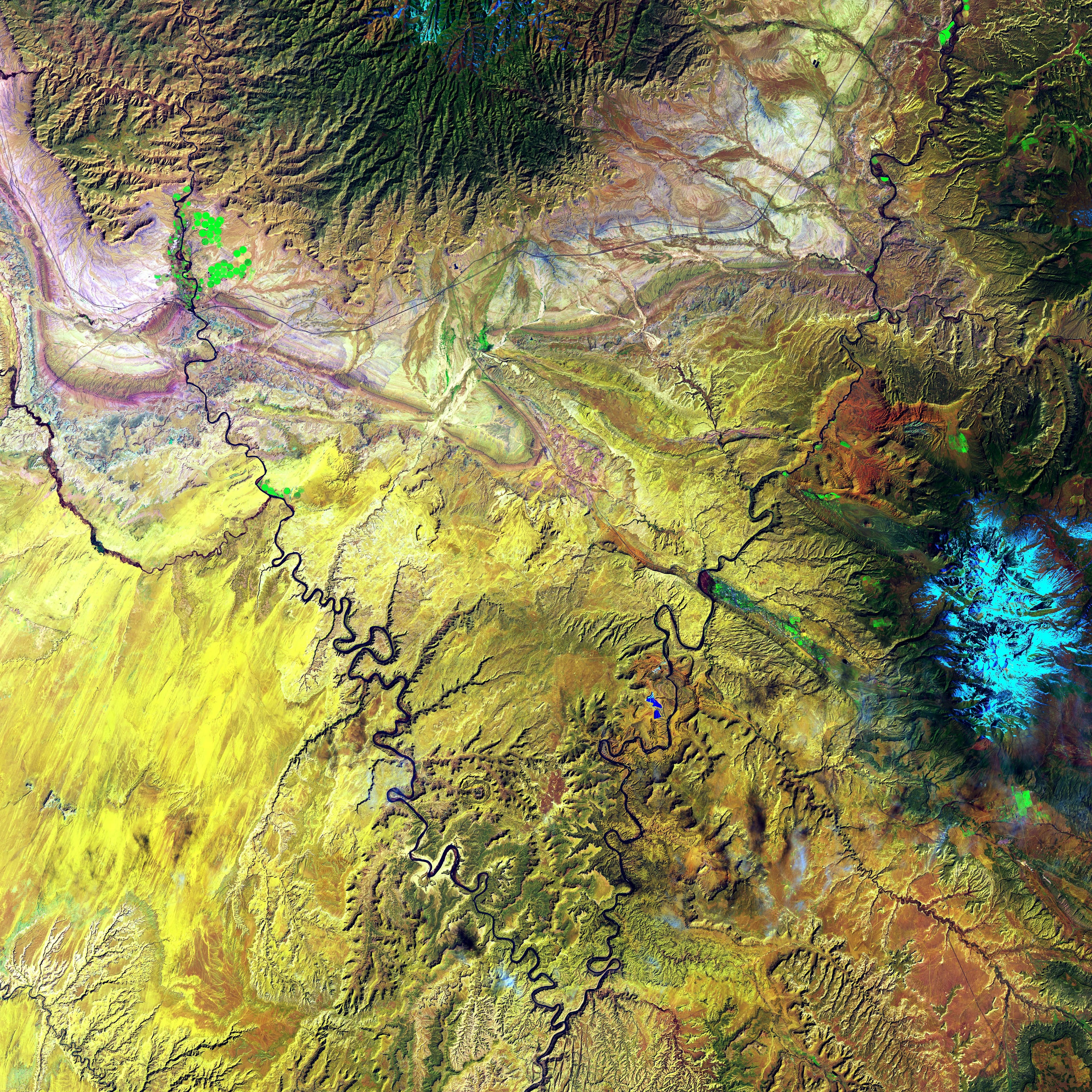
Remote Sensing & GIS
Core Technology Stack
We partner with defence organizations, government agencies, urban planners, agricultural bodies, and enterprises to solve real-world challenges through the power of location intelligence and earth observation.
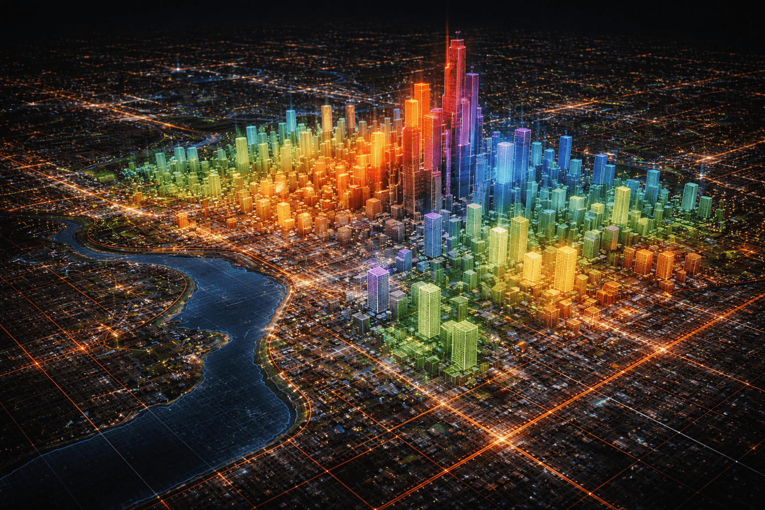
Cross-Domain Impact
Defence · Agriculture · Urban Planning
We maintain a human-centered approach — advancing scientific progress by collaborating with universities, government agencies, NGOs, and communities worldwide. Geospatial intelligence as an essential partner for decision-makers.
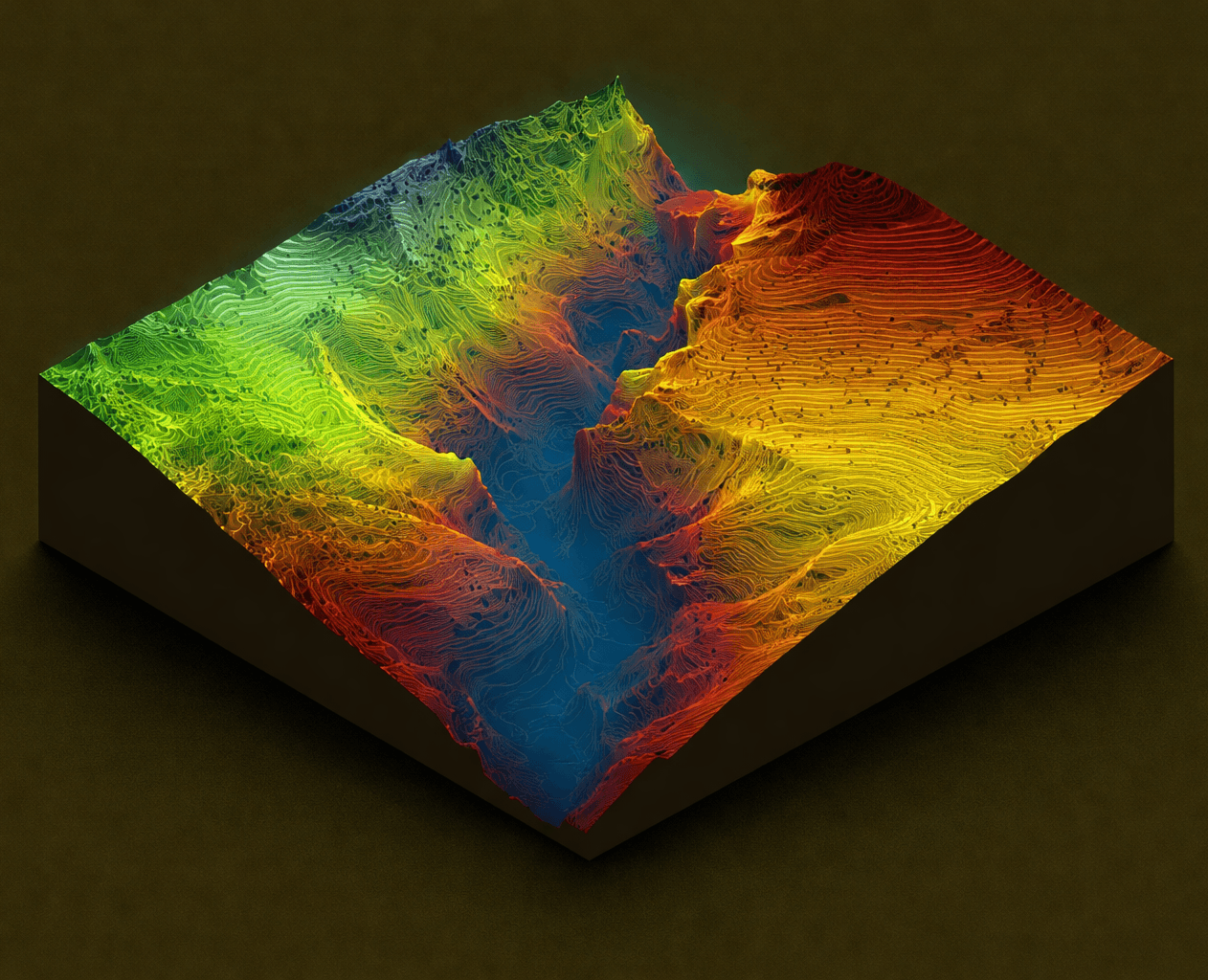
Research & Collaboration
Human-Centered Innovation
We work across domains
Our geospatial capabilities span the entire spectrum of location intelligence. From GIS foundations and remote sensing to WebGIS platforms, 3D visualization, AI-powered analytics, and geospatial intelligence.
Comprehensive solutions from the ground up
Our foundation is built on decades of expertise in geospatial science. From data acquisition through remote sensing to advanced AI-powered analysis, we deliver end-to-end solutions that transform how organizations understand spatial relationships and make data-driven decisions.
Impactful solutions at the heart of what we do
Our geospatial solutions impact industries worldwide—from agriculture and urban planning to defense and environmental monitoring. We're committed to delivering responsible, ethical, and transformative location intelligence that empowers organizations to make informed decisions and create positive change.
Our Capabilities
Our capabilities encompass the full spectrum of geospatial intelligence, providing a robust toolkit for unlocking the power of location data. We integrate GIS for precision mapping, remote sensing for comprehensive data acquisition, WebGIS platforms for interactive mapping, 3D mapping and digital twins for immersive visualization, AI and machine learning for intelligent analytics, spatial analytics and data science for advanced insights, digital cartography, and geospatial intelligence for strategic decision-making.