
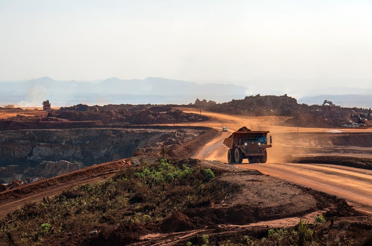
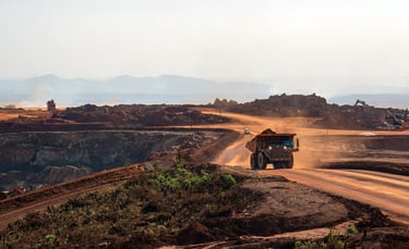
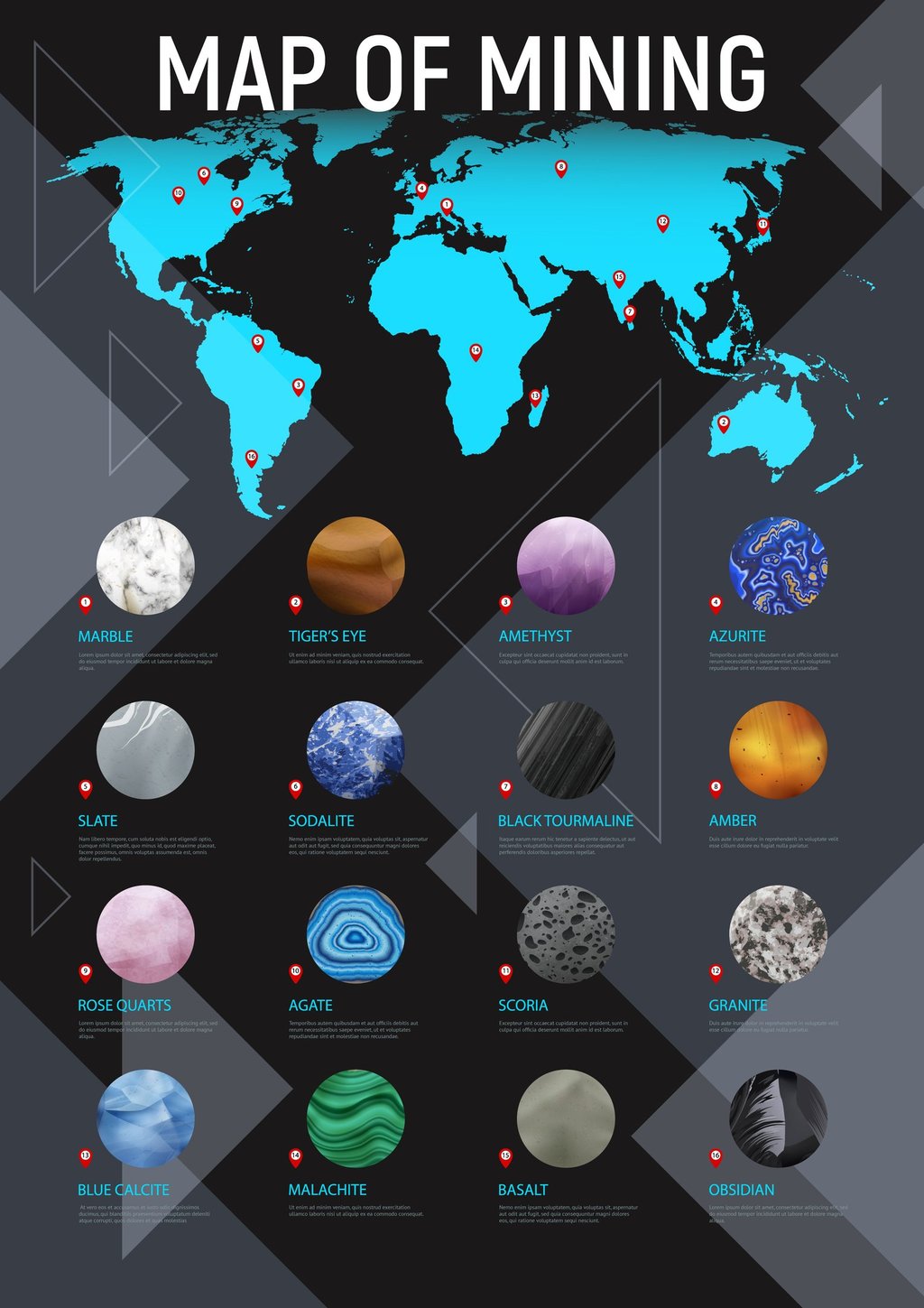
Mineral Exploration Mapping: Mineral Potential Area Map
Mineral exploration mapping is the process of using various techniques to identify and map potential locations of mineral deposits. This process is essential for mining companies, as it allows them to assess the potential profitability of a mining project before investing in its development.
GLOBEIR
Mineral exploration mapping is the process of using various techniques to identify and map potential locations of mineral deposits. This process is essential for mining companies, as it allows them to assess the potential profitability of a mining project before investing in its development.
Benefits of Mineral Exploration Mapping to Mining Companies
There are many benefits to mineral exploration mapping for mining companies. Some of the most important benefits include:
Reduced exploration costs: Mineral exploration mapping can help mining companies identify promising exploration targets early in the exploration process. This can help to reduce exploration costs by focusing exploration efforts on the most promising areas.
Increased exploration success: Mineral exploration mapping can help mining companies to increase their chances of success by identifying areas with a higher probability of containing mineral deposits.
Improved mine planning: Mineral exploration mapping can help mining companies to plan their mines more effectively by providing them with a better understanding of the location and extent of mineral deposits.
Reduced environmental impact: Mineral exploration mapping can help mining companies to reduce their environmental impact by identifying areas with lower environmental risks.
Techniques Used in Mineral Exploration Mapping
A variety of techniques are used in mineral exploration mapping. Some of the most common techniques include:
Geological mapping: This involves mapping the surface geology of an area to identify potential mineral deposits.
Geophysical surveys: These surveys use various techniques to measure the physical properties of the Earth's crust, such as its electrical conductivity or magnetic susceptibility.
Geochemical surveys: These surveys measure the chemical composition of rocks, soil, and water to identify areas with anomalous concentrations of minerals.
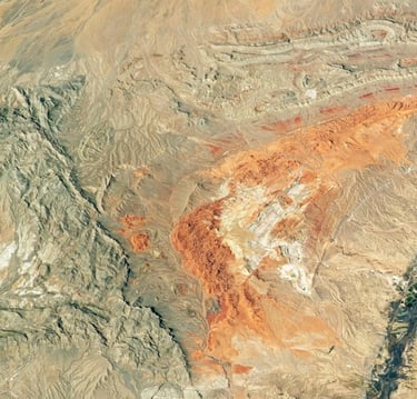
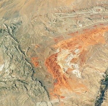
Remote sensing: This involves using satellites or aircraft to collect images of the Earth's surface. These images can be used to identify potential mineral deposits by looking for patterns in the vegetation, topography, or spectral reflectance of the surface.
GIS and Remote Sensing: A Synergistic Partnership
The synergistic partnership between GIS and Remote Sensing empowers exploration professionals to:
1. Identify Patterns and Anomalies: GIS facilitates spatial analysis, enabling the detection of patterns, trends, and anomalies in geological data. This analysis helps pinpoint areas of potential mineralization, guiding exploration efforts towards promising targets.
2. Create Detailed Terrain Models: LiDAR mapping, with its laser technology, and drone mapping, equipped with advanced sensors, provide precise three-dimensional information and high-resolution imagery, respectively. GIS seamlessly integrates this data, enhancing mapping accuracy and generating detailed terrain models that accurately represent topography and geology—critical components for successful mineral exploration.
3. Visualize Mineral Potential Maps: Cartography, powered by GIS, transforms raw data into visually appealing and informative maps. These maps serve as communication tools, enabling exploration professionals to interpret the geological nuances of the landscape and communicate their findings effectively.
4. Refine Mineral Potential Assessments: Spectral signature analysis, a unique capability of Remote Sensing, allows GIS professionals to identify and differentiate between various minerals and geological features based on their spectral fingerprints. This in-depth analysis refines mineral potential assessments, providing a nuanced understanding of subsurface mineralization.
GIS: The Orchestrator of Spatial Information
GIS serves as the central hub for data collection, management, and analysis in mineral exploration mapping. It acts as a powerful repository, meticulously gathering and synthesizing geological, geophysical, and geochemical data. This systematic approach lays the foundation for a comprehensive exploration strategy. GIS empowers exploration professionals to integrate and visualize diverse datasets, providing a holistic view of the geological landscape.
Remote Sensing: Unraveling Earth's Spectral Fingerprint
Remote Sensing technologies, operating through satellites, drones, and aerial platforms, contribute invaluable spectral data to mineral exploration mapping. This imagery and spectral information, capturing the unique electromagnetic signatures of Earth's surface, become integral components within GIS. Remote Sensing allows exploration professionals to identify and differentiate between various minerals and geological features, even those hidden beneath layers of vegetation or soil.
The Future of Mineral Exploration Mapping
Mineral exploration mapping is constantly evolving as new technologies are developed. Some of the most promising new technologies include:
GIS & AI: GIS & AI can be used to analyze large volumes of data from mineral exploration surveys to identify patterns and anomalies that may indicate the presence of mineral deposits.
Machine learning: Machine learning can be used to develop algorithms that can automatically identify potential mineral deposits from mineral exploration data.
Drone-based surveys: Drones can be used to collect high-resolution data from mineral exploration surveys, which can be used to create detailed maps of potential mineral deposits.
As these new technologies continue to develop, mineral exploration mapping will become more efficient and effective. This will help mining companies to identify and develop new mineral deposits, which will be essential for meeting the world's growing demand for minerals.
Conclusion
Mineral exploration mapping is an essential tool for mining companies. It can help mining companies to reduce exploration costs, increase exploration success, improve mine planning, and reduce environmental impact. As new technologies are developed, mineral exploration mapping will become even more efficient and effective, which will help mining companies to identify and develop new mineral deposits to meet the world's growing demand for minerals.
CONTACTS
SUPPORT
All rights reserved. © GLOBEIR PRIVATE LIMITED 2025